
How it works
A simple 4-step process
From flight planning to final report. Click each step to see what happens and what you receive.
We define the inspection scope, review site conditions and plan a flight path for your assets.
Thermal and visual images are captured together, each one GPS-tagged, under the right conditions for your asset type.
Every image is reviewed. Anomalies are measured against a reference area, ranked by severity and flagged for follow-up.
You receive a clear report with every finding located, illustrated and prioritized for your team or contractor.
The tools behind every inspection
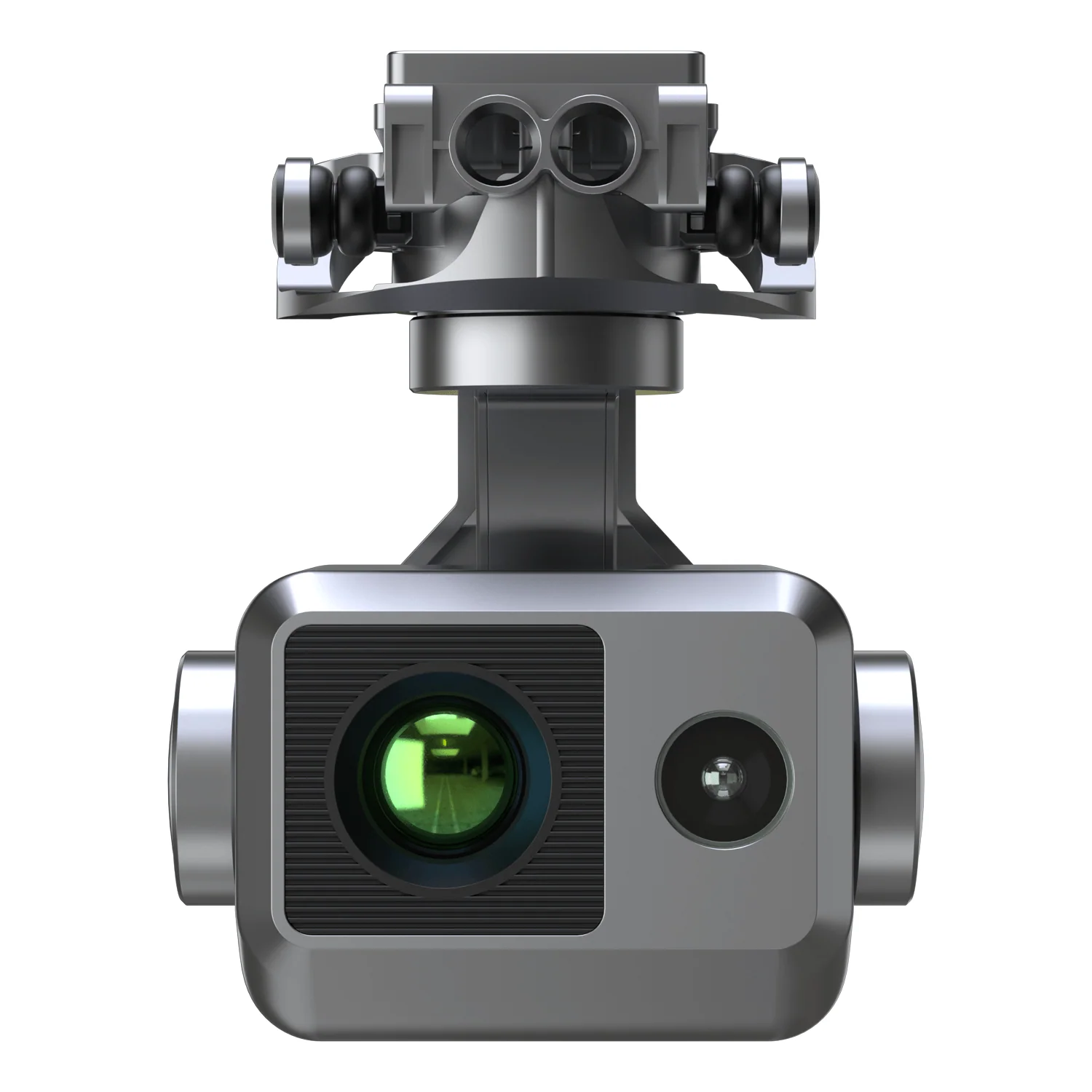
Radiometric thermal camera
Temperature data in every pixel, so findings can be measured, compared and ranked.
- 640×512 radiometric sensor
- Detects differences of 0.05 °C
- ±3 °C or ±3% accuracy
- RTK positioning, GPS-tagged frames
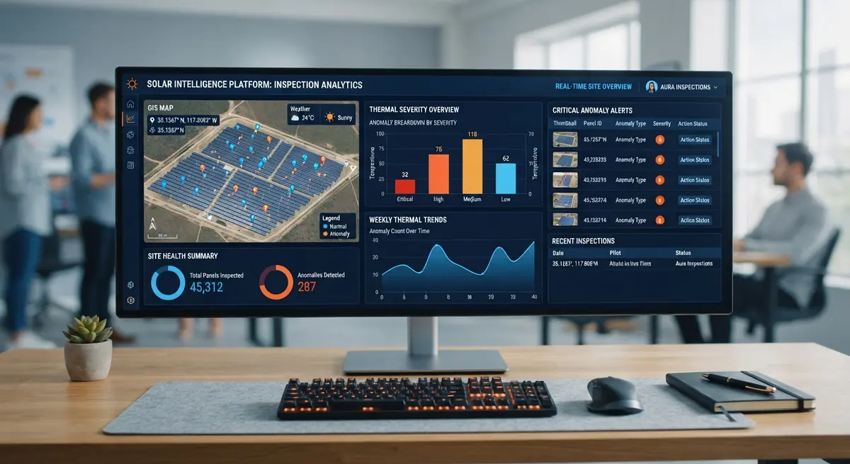
Structured reports
Clear findings your team or contractor can act on.
- Findings catalog with severity ratings
- Annotated thermal + RGB pairs
- PDF with GPS coordinates
- Summary with recommended follow-up
Ready to inspect your property?
Request a free consultation. We respond within 24 hours.